About

The Montérégie-Ouest Territory

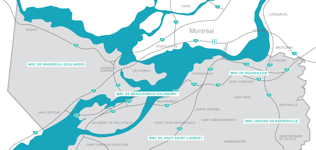
The Montérégie-Ouest Economic Region is formed of 65 municipalities grouped in five Regional County Municipalities (RCM): Beauharnois-Salaberry, Haut-Saint-laurent, Jardins-de-Napierville, Roussillon and Vaudreuil-Soulanges.

The Montérégie-Ouest Strategic Location

Thanks to its enviable strategic location, all international intermodal transportation travel through this region, including: 

  • Three major rivers and lakes: the St. Lawrence River, St. François Lake and St. Louis Lake;
  • Five major highways: Highway 15, Highway 20, the new Highway 30, Highway 40 and Highways 530/730/930;
  • Two ports: the Port of Valleyfield and the Port of St. Catherine;
  • Two navigable canals: the Canal de Beauharnois with two navigation locks and the Canal of the Rive Sud (Côte-Sainte-Catherine lock);
  • Two borders are close to this area: the border with Ontario and the border with the United States, in Lacolle;
  • Several bridges connect the RCMs and to Montréal: Mercier Bridge, Île-aux-Tourtes Bridge, Galipeaut Bridge, the new bridge over Highway 30, among others;
  • Two trains pass through this area, the Canadian Pacific and the Canadian National;
  • This area is located minutes from Pierre Trudeau International Airport, in Dorval.

The RCMs of the Montérégie-Ouest region can count on the presence of several manufacturing companies operating in highly diversified fields, such as food processing and agro-processing, aerospace, construction, manufacturing, machining and more.